Geospatial Data Visualization with TouchDesigner, Part 2: Point Cloud Rendering
In this project, we build a geospatial data pipeline to power a real-time visualization built in TouchDesigner. We will look at a number of applications and effects, visualization with instancing and render picking, and integrate various data sources along the way.
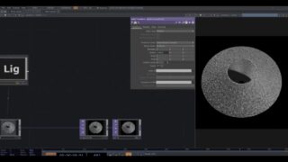
Part 2 outlines a super-lightweight rendering setup for point clouds!
Project files: www.patreon.com/water__shed
00:00 – Start
01:43 – Point Cloud Instancing with Add SOP
04:56 – Camera Far Distance
20:01 – Camera Blend

About The Author
You might be interested in


0
30:13