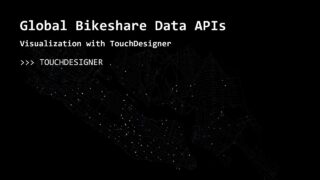
Geospatial Data Visualization with TouchDesigner, Part 1: Open Street Maps
In this project, we build a geospatial data pipeline to power a real-time visualization built in TouchDesigner. We will look at a number of applications and effects, visualization with instancing and render picking, and integrate various data sources along the way.
Part 1 includes using qGIS software to bulk download Open Street Map data, Houdini with SideFX Labs to process the data, and of course TouchDesigner for visualization.
Project files: www.patreon.com/water__shed
00:00 – Intro / Project Series Overview
02:40 – OpenStreetMap
03:56 – QGIS
07:54 – Open Street Map Data Processing in Houdini
39:08 – Importing OSM data to TouchDesigner

About The Author
You might be interested in

0
01:13:35