Touchdesigner Data Visualization/ 02

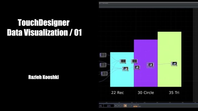
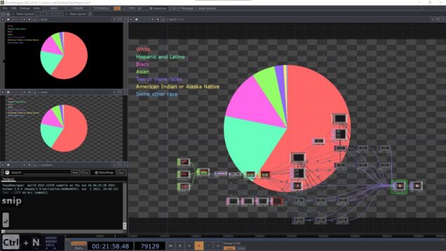
This is the second video from Data Visualizition series in touchdesigner. In this video I used precentage to create this visualization. First video here: https://youtu.be/-EZLsWIFaVc For Geometery Instancing in more detail: https://youtu.be/ZDC_NqHGov8 And: https://youtu.be/DlX3fKaENQw I am on Patreon, please join me there. I’ll upload some of the files soon there: Here —– https://www.patreon.com/RaziehKooshki ☁ All […]
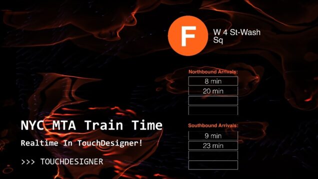
NYC's MTA Train Time Realtime in TouchDesigner!

In this video, I walk through a project that I have built to display real time train updates for any line or station in New York City’s subway system, using a publicly available API! We will walk though all the steps from API setup to textual display, and along the way touch on some higher-level […]

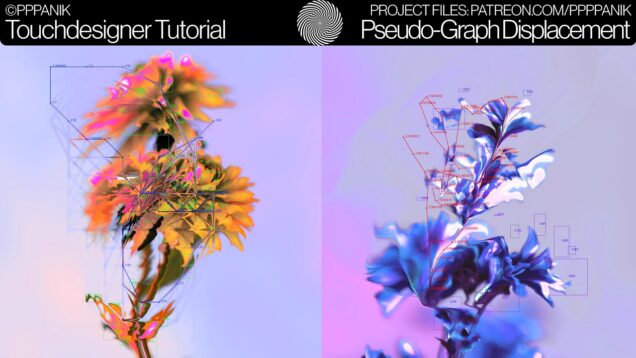
AUDIOREACTIVE PSEUDO-DATA-GRAPH DISPLACEMENT – TOUCHDESIGNER TUTORIAL

hello hello hello. it’s your captain typing and it is this time of the year again: merry crisis. this is a special format I started 2020 and it means: I will create something special on my patreon and all the proceeds of the month get donated to people in crisis. this time i chose to […]

Bikeshare API Visualization in TouchDesigner: Part 2

In this tutorial we use some simple Python (assisted by ChatGPT) to access and import real time bikeshare data from anywhere in the world via API. In Part 1 we will use jupyter notebooks, create a stand-alone python program that runs as its own process, and then in Part 2 we will leverage OSC to […]

Bikeshare API Visualization in TouchDesigner

In this tutorial we use some simple Python (assisted by ChatGPT) to access and import real time bikeshare data from anywhere in the world via API. In Part 1 we will use jupyter notebooks, create a stand-alone python program that runs as its own process, and then in Part 2 we will leverage OSC to […]

Geospatial Data Visualization with TouchDesigner, Part 1: Open Street Maps

In this project, we build a geospatial data pipeline to power a real-time visualization built in TouchDesigner. We will look at a number of applications and effects, visualization with instancing and render picking, and integrate various data sources along the way. Part 1 includes using qGIS software to bulk download Open Street Map data, Houdini […]